Top Five Views Within 3 Hours of Bowling Green, Kentucky
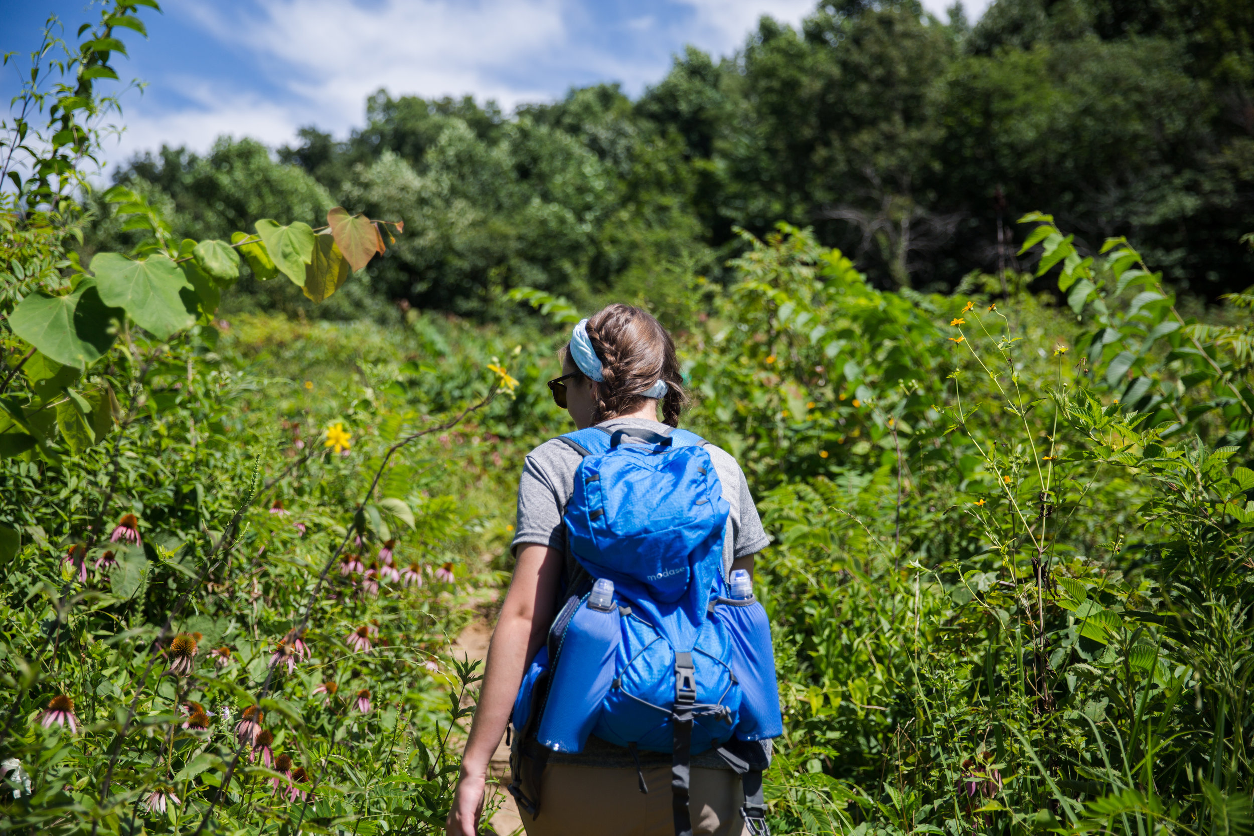
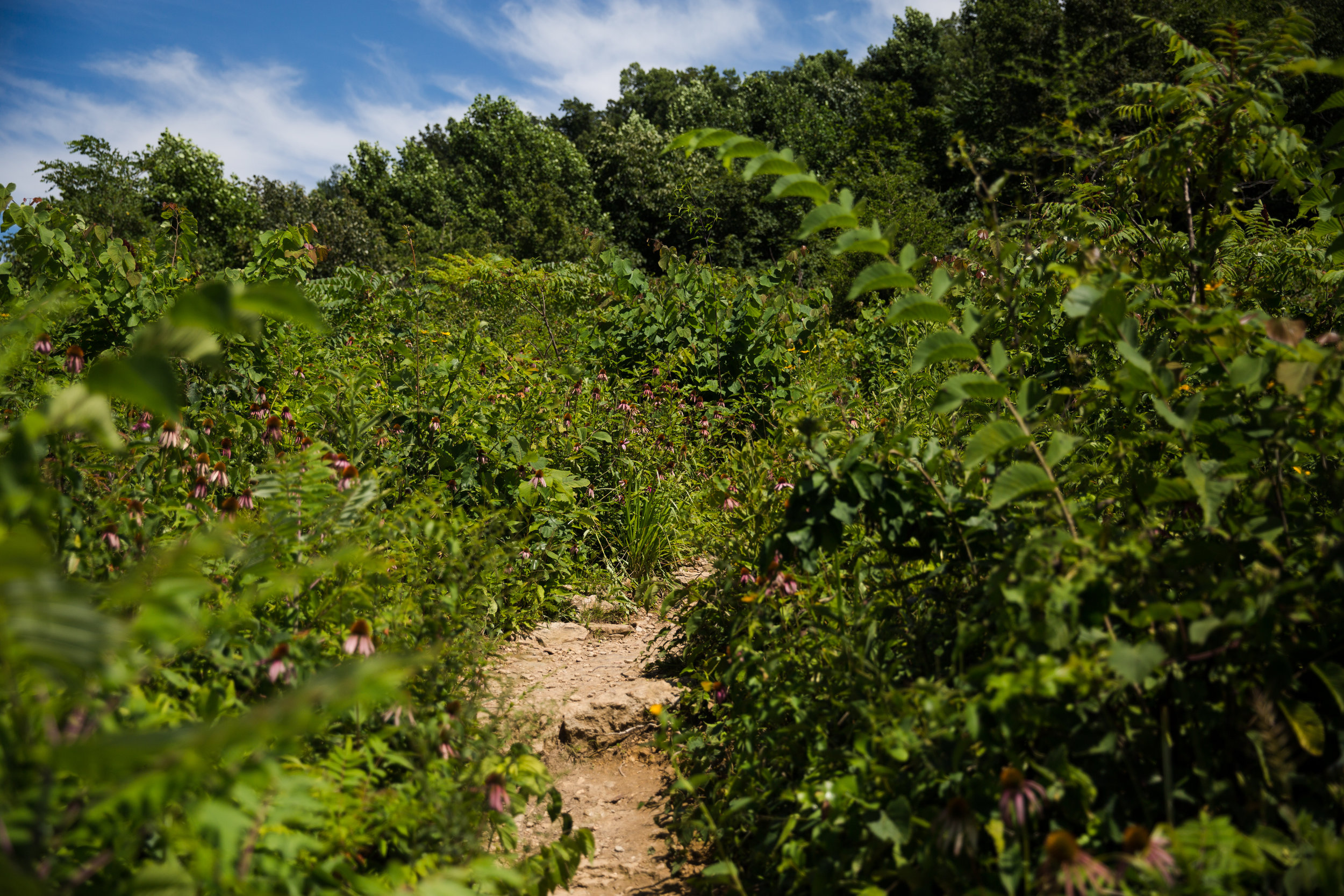
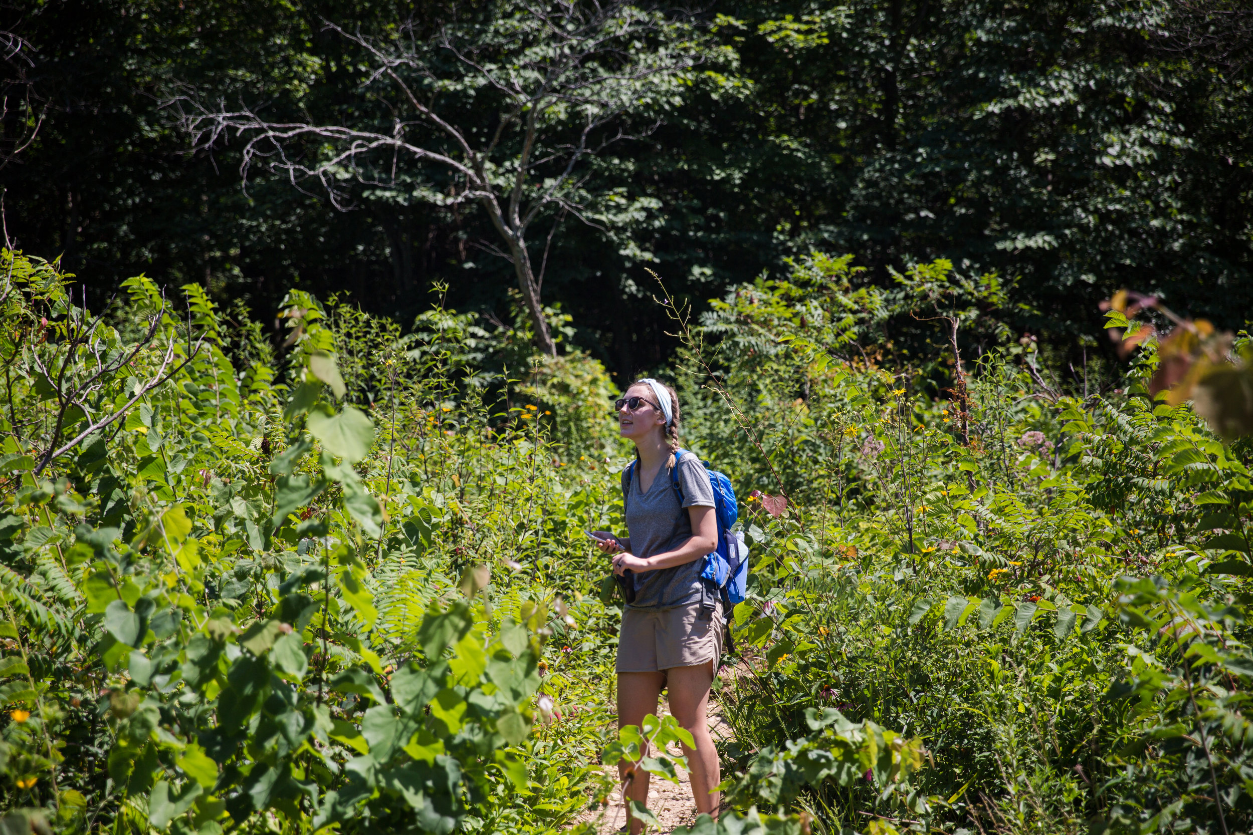
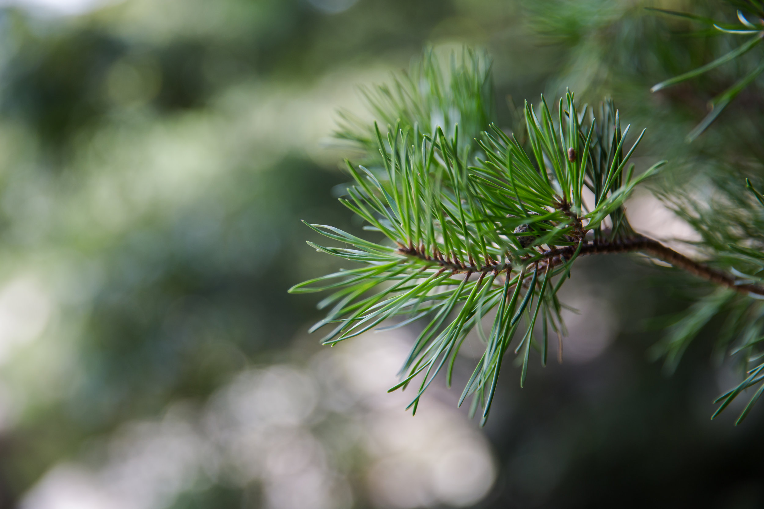
     I frequently get asked where good hikes are in our area. Bowling Green has a couple local favorites, but unfortunately living in cave country doesn't make for many good views above the ground. If you are looking for a stunning spot to soak in the landscape, you've got to be willing to drive a ways. These are five of my favorite places that are within a three hour drive of Bowling Green.  

5. Narrows of the Harpeth - TN

     The Narrows is only about an hour and a half away in Tennessee. It's the perfect spot to take in the sunrise with a cup of coffee. The river below the overlook is beautiful and there is even a man made water feature if you want to extend your trip. The hike to the top is about a mile long but it's straight up so be prepared for a steep path. 
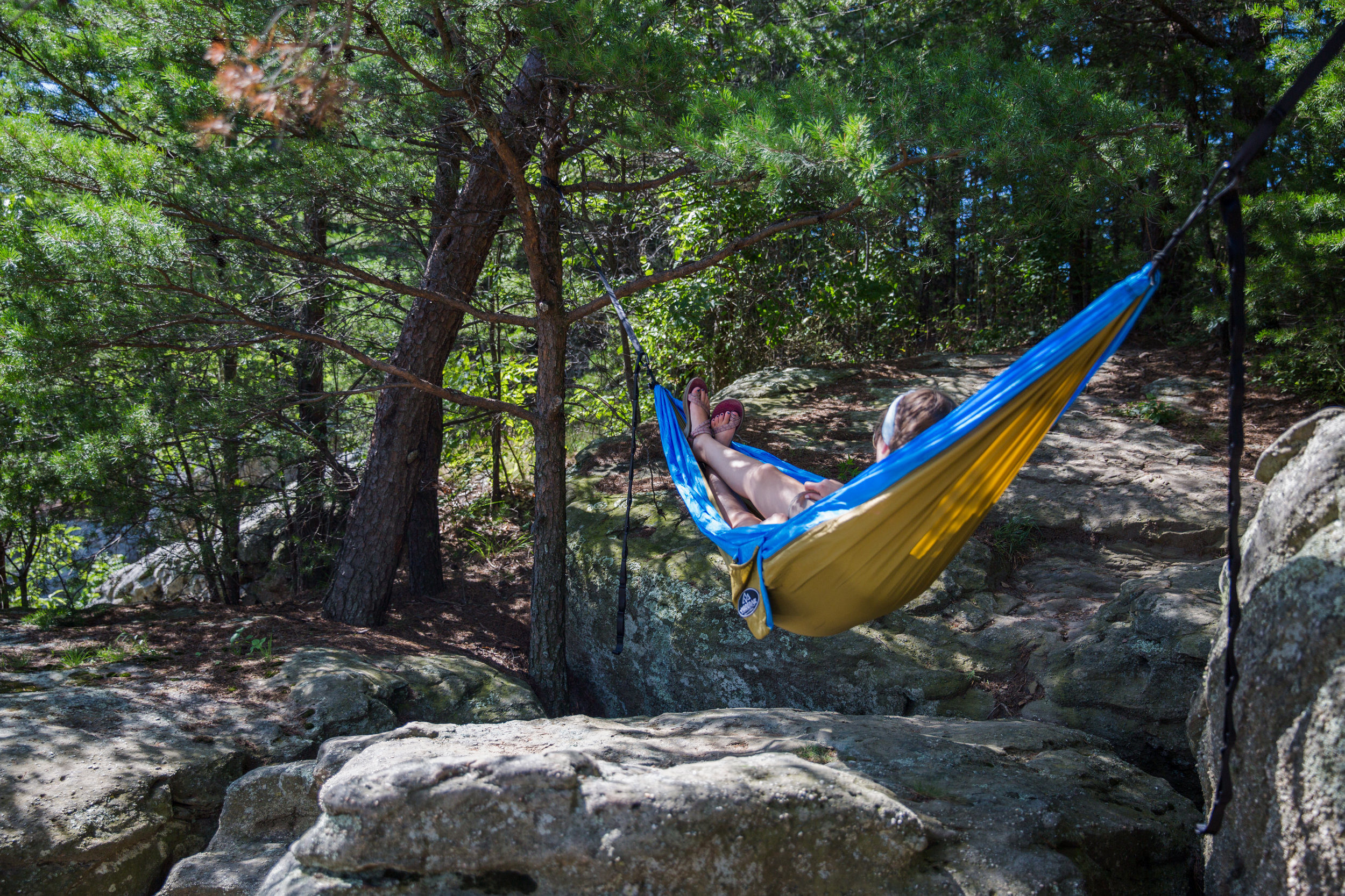
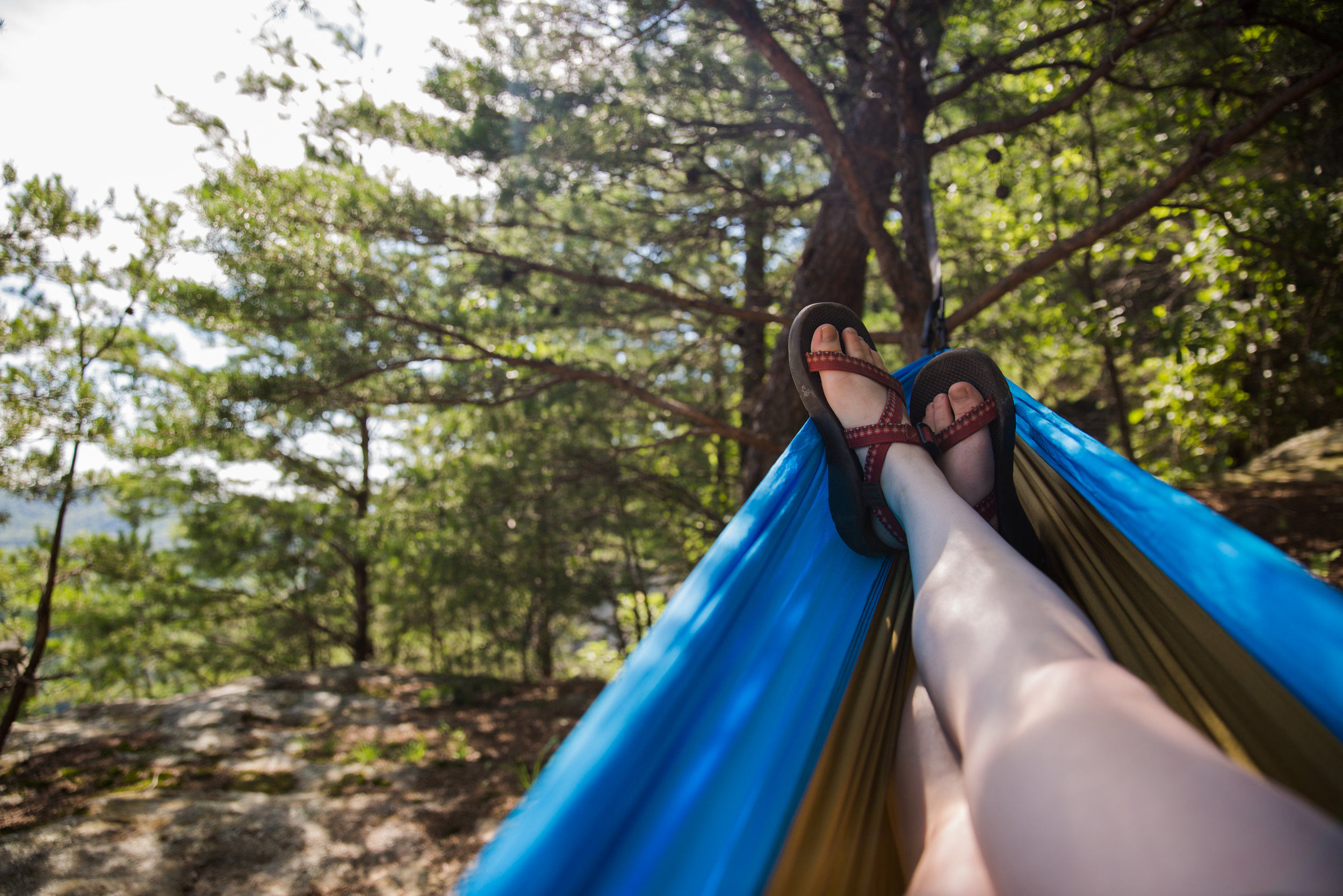
4. Pilot Rock - KY

     Pilot Rock is an hour away in Todd County. And though I wouldn't call it much of a hike, It's basically a flight of stairs and then a quick rock scramble to the top of the cliff. This is definitely the best view for the least amount of work. Sunset's up here are nothing short of magical. You do have to deal with what the graffiti goons have left behind, but the rolling Kentucky hills and sprawling farmland make up for it.

3. Eagle Falls - KY

     Eagle falls is located in Cumberland Falls State Park, two and half hours away. It's a heavily trafficked trail two mile trail that not only gives you this pay off, but yields beautiful views of the larger Cumberland Falls along the trail. Bring your swim suit if it's warm out, Eagle Falls makes the perfect swimming hole. 

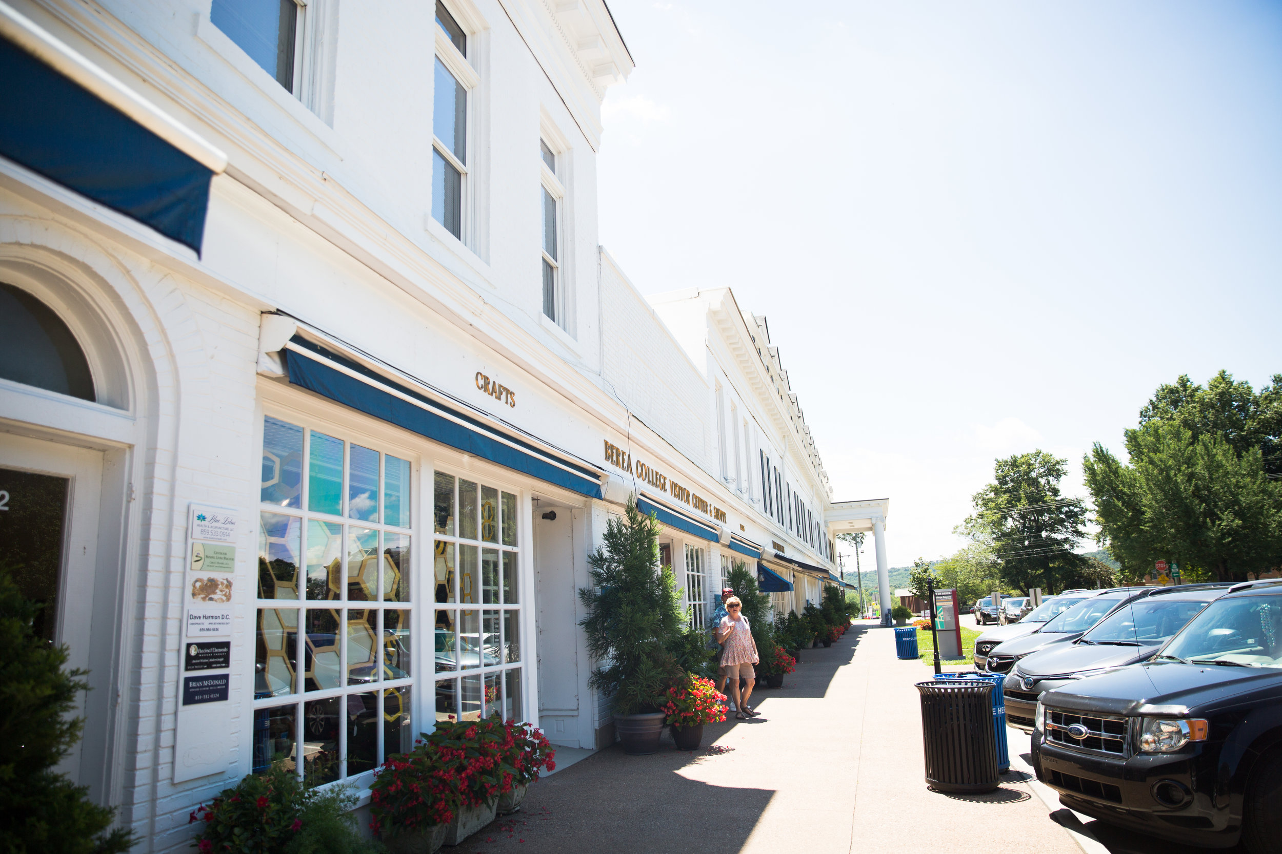
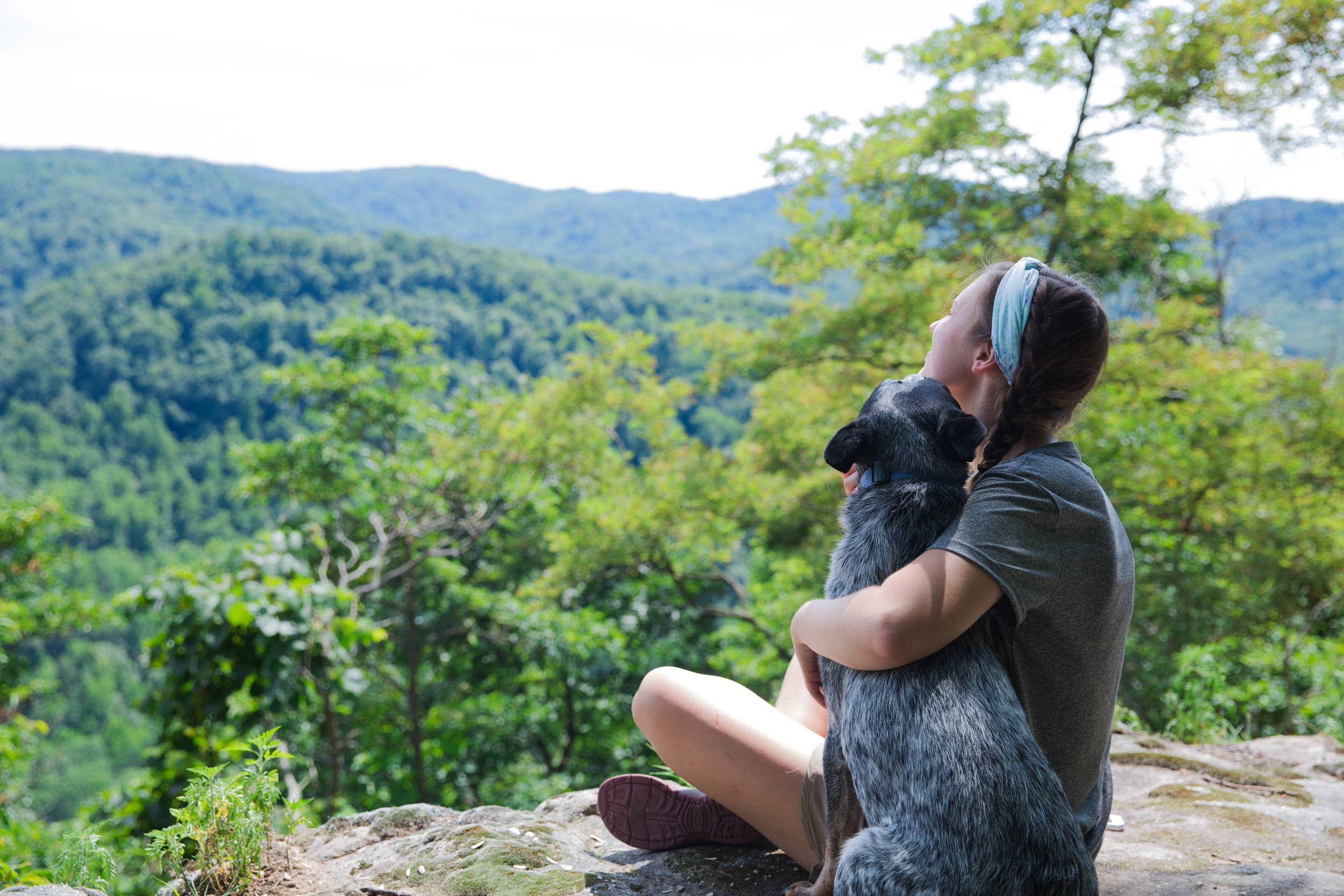
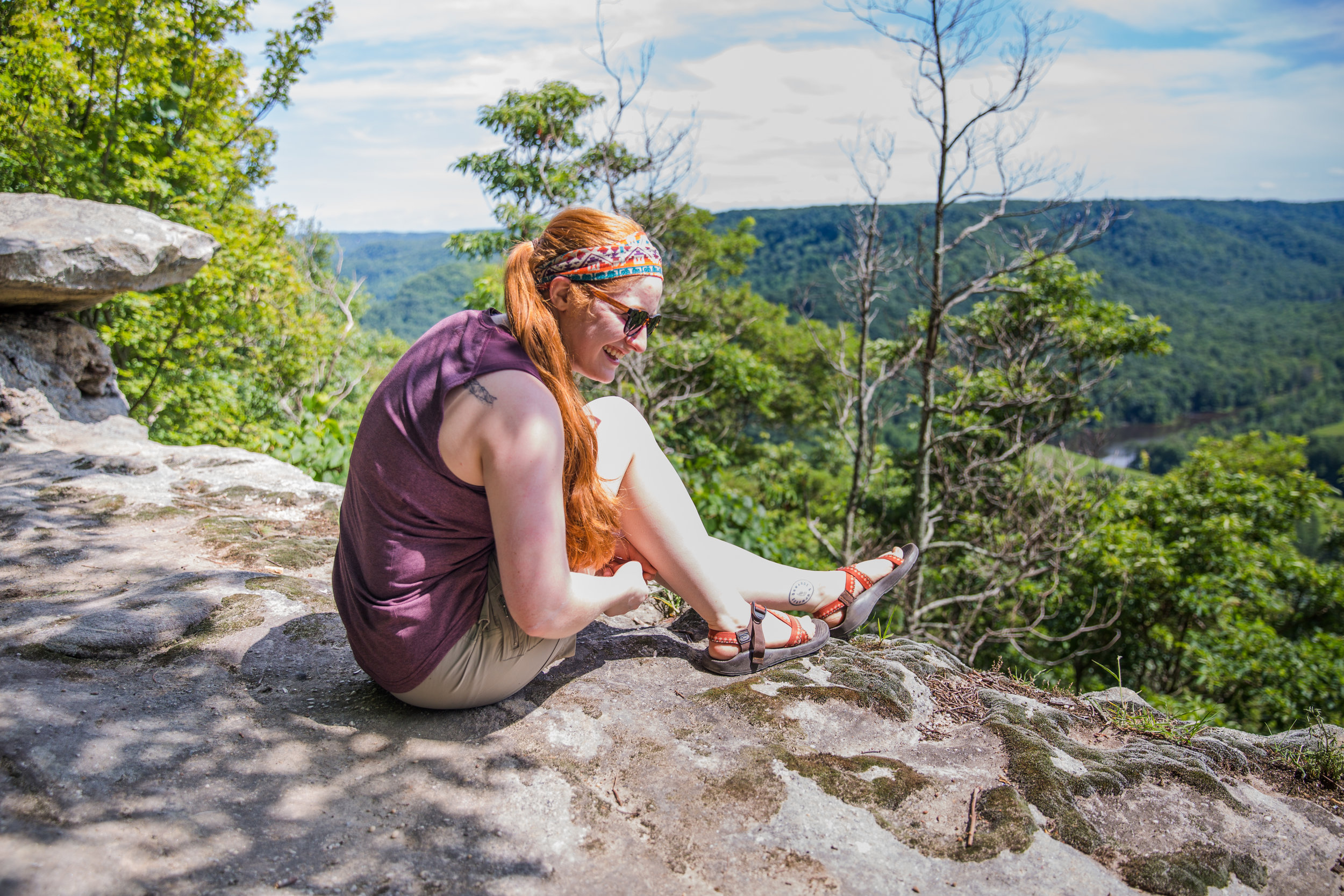
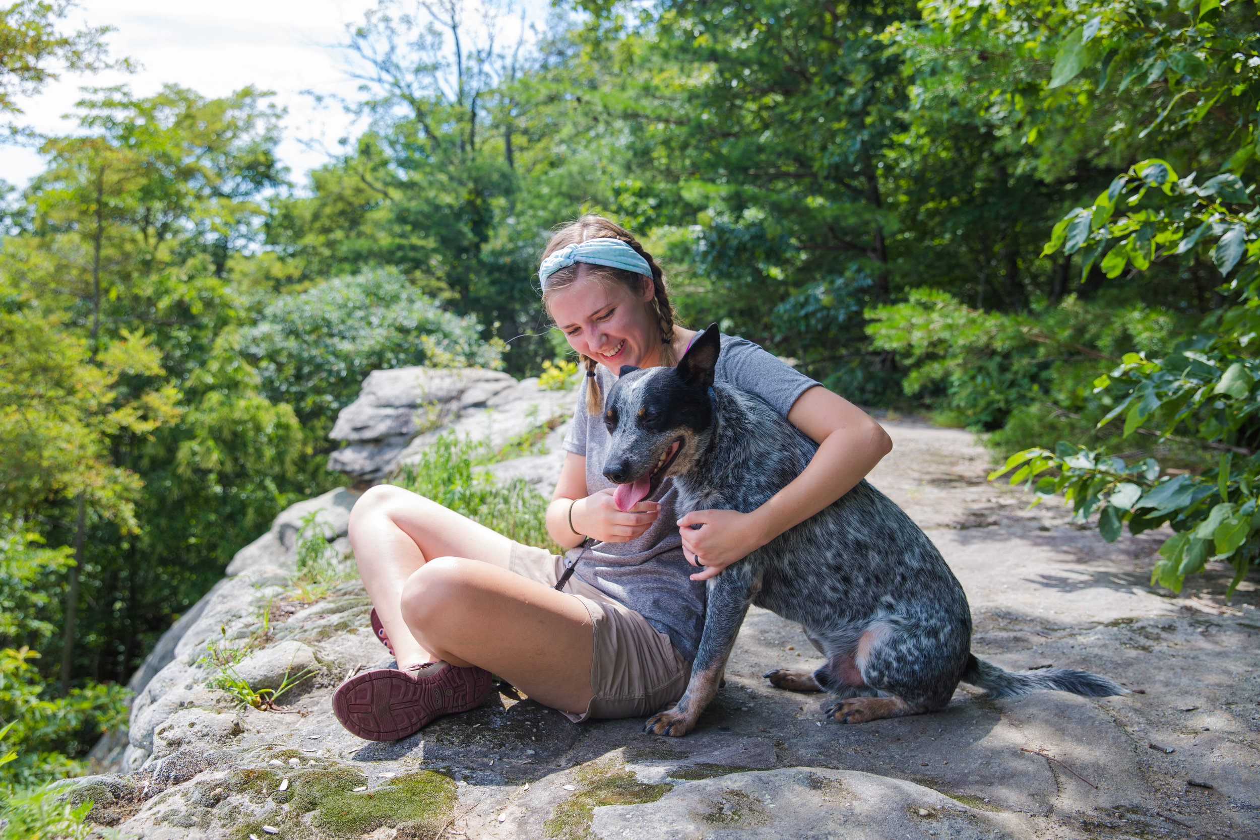
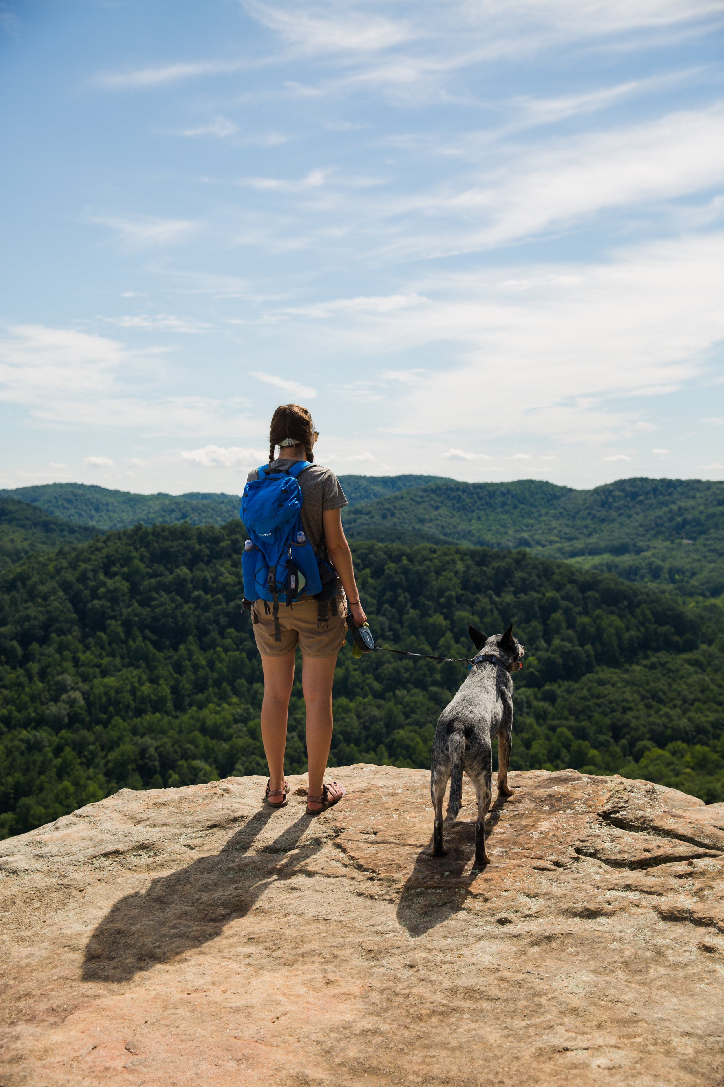
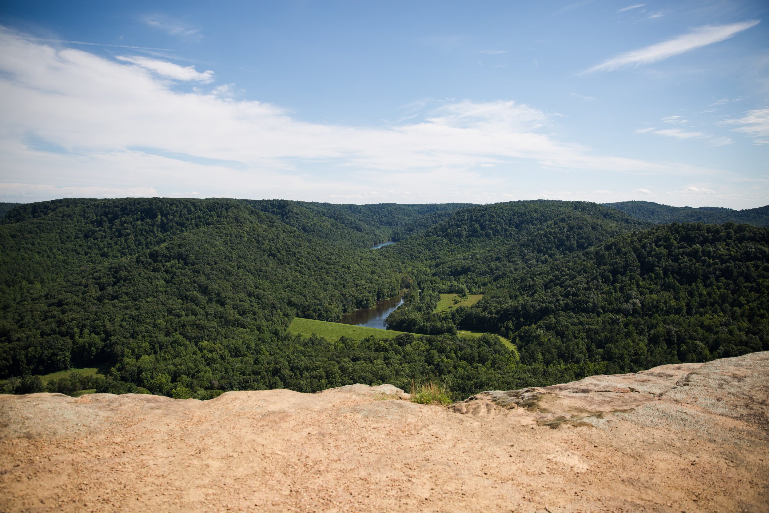
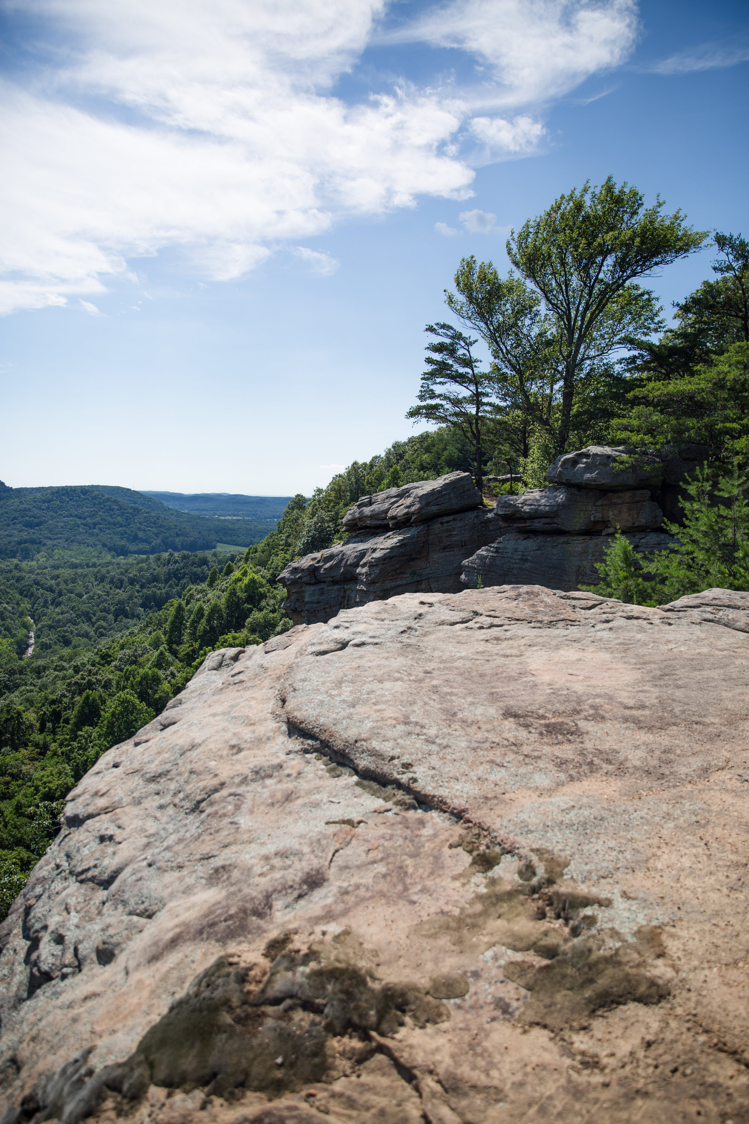
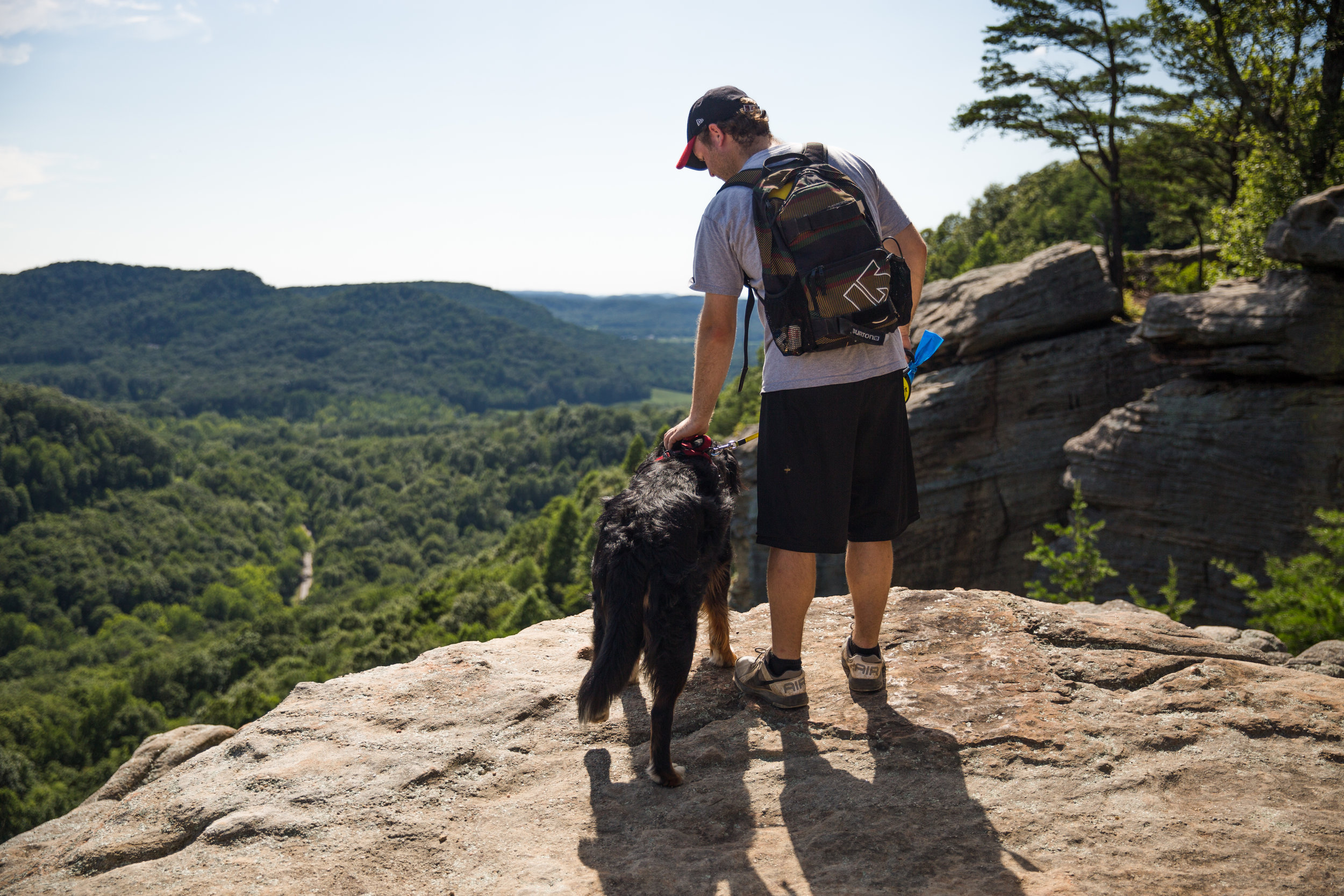
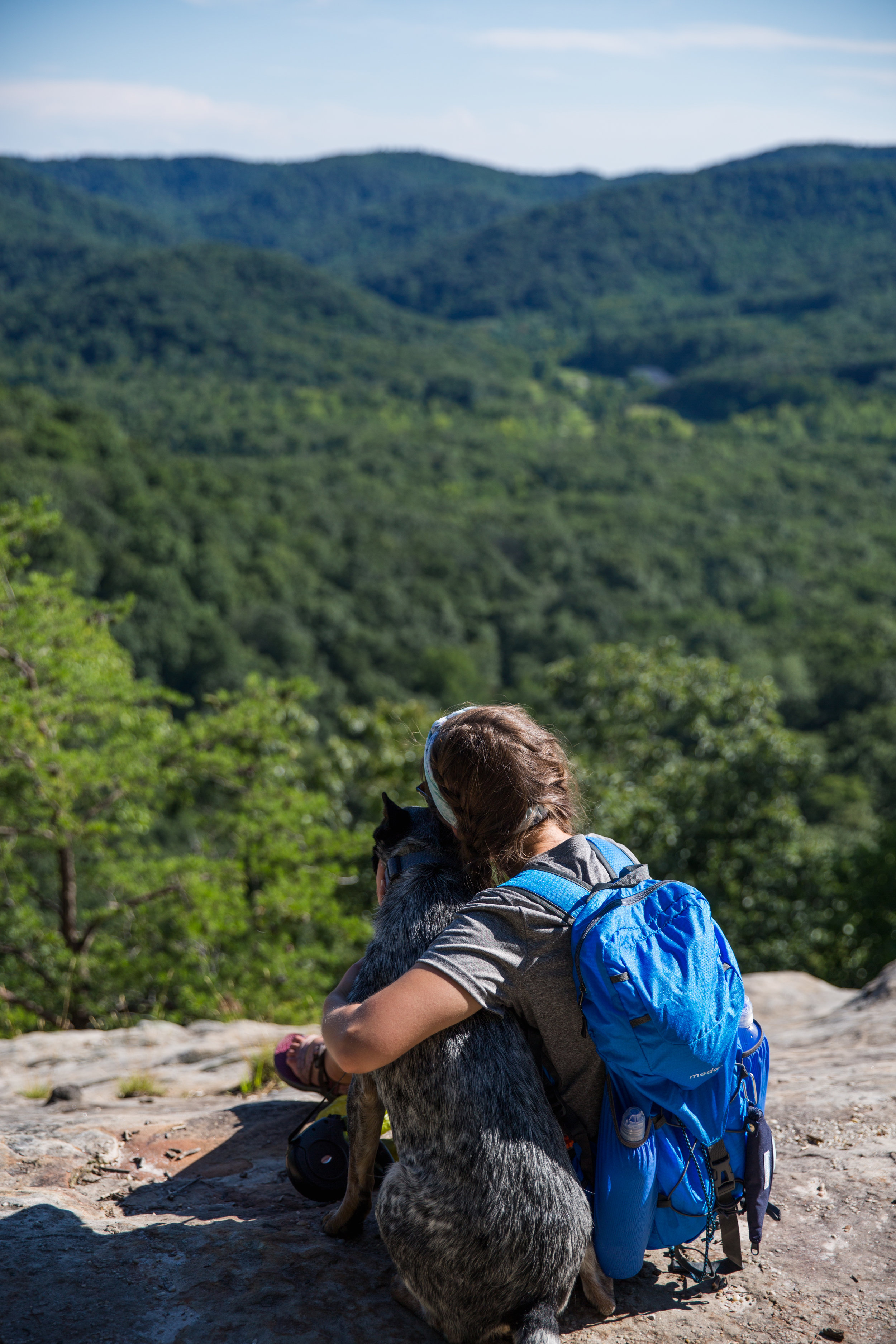
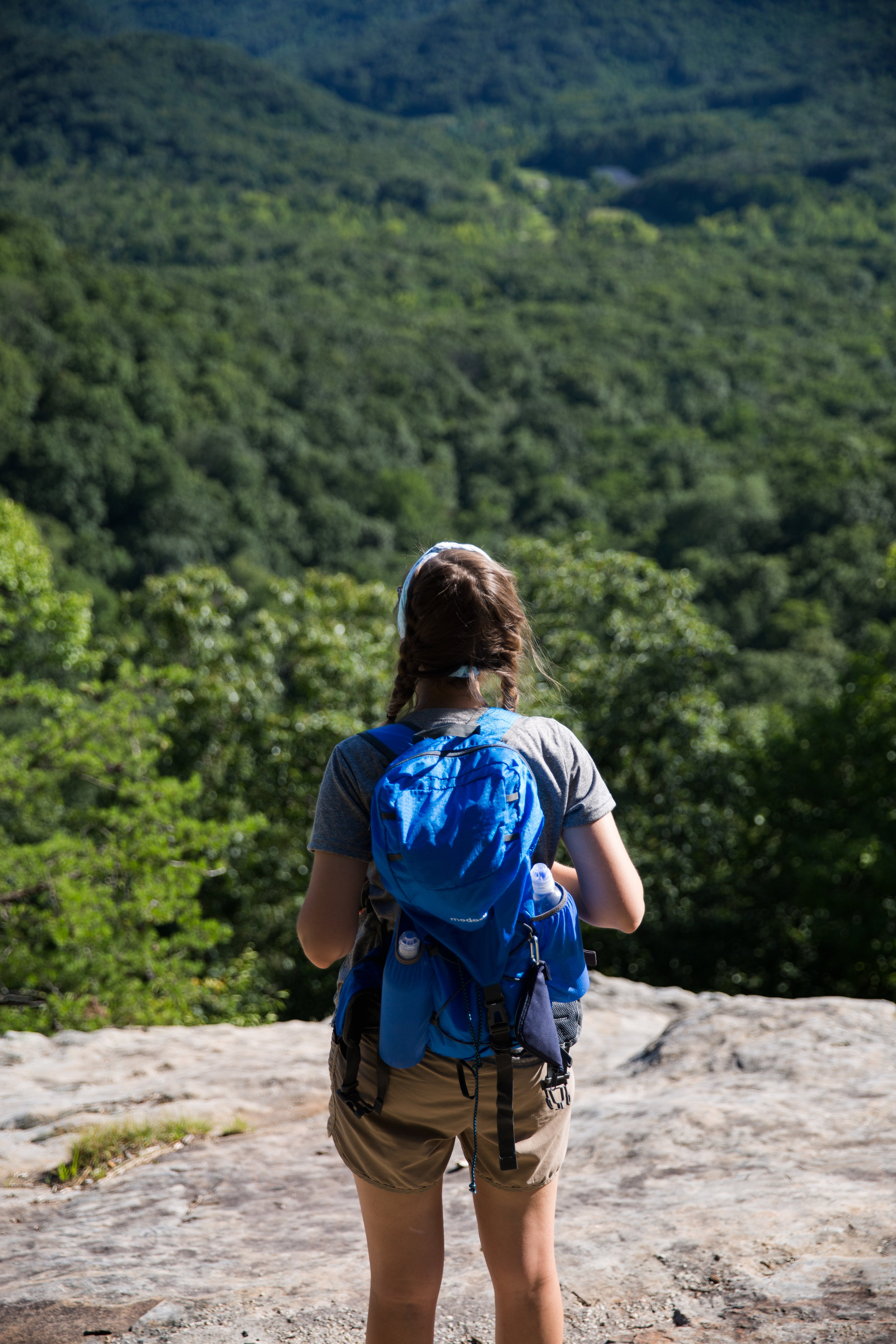
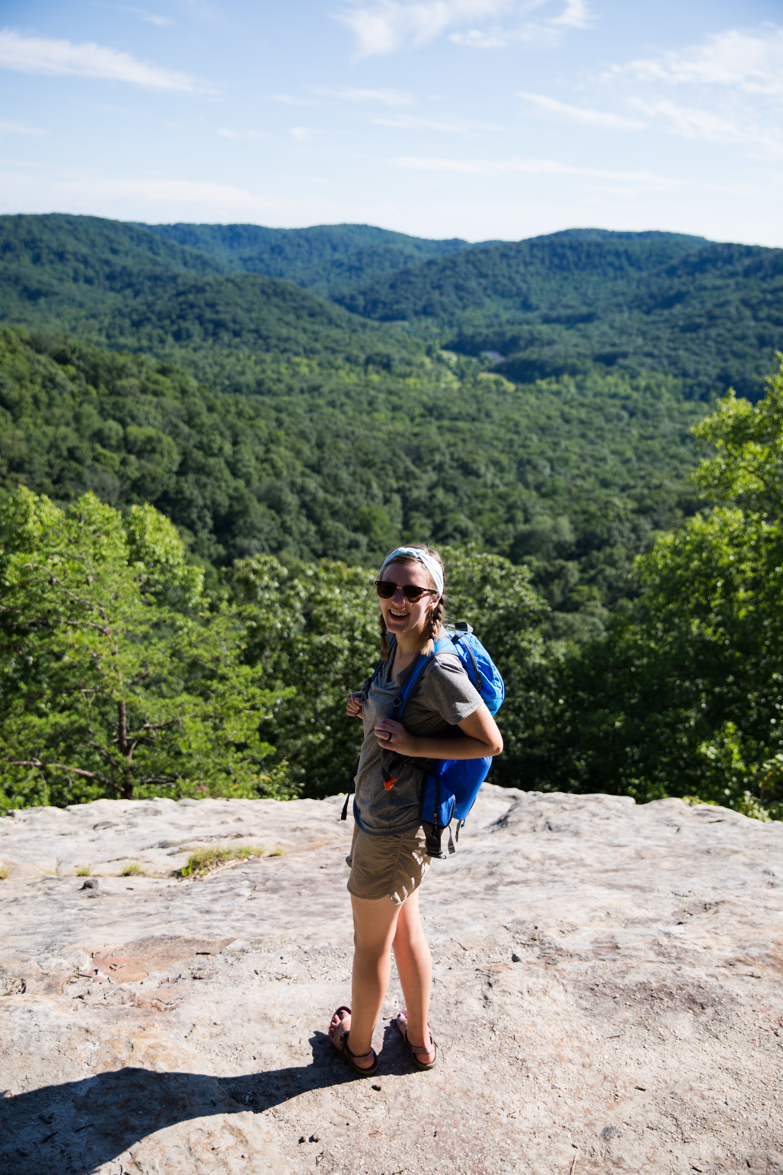
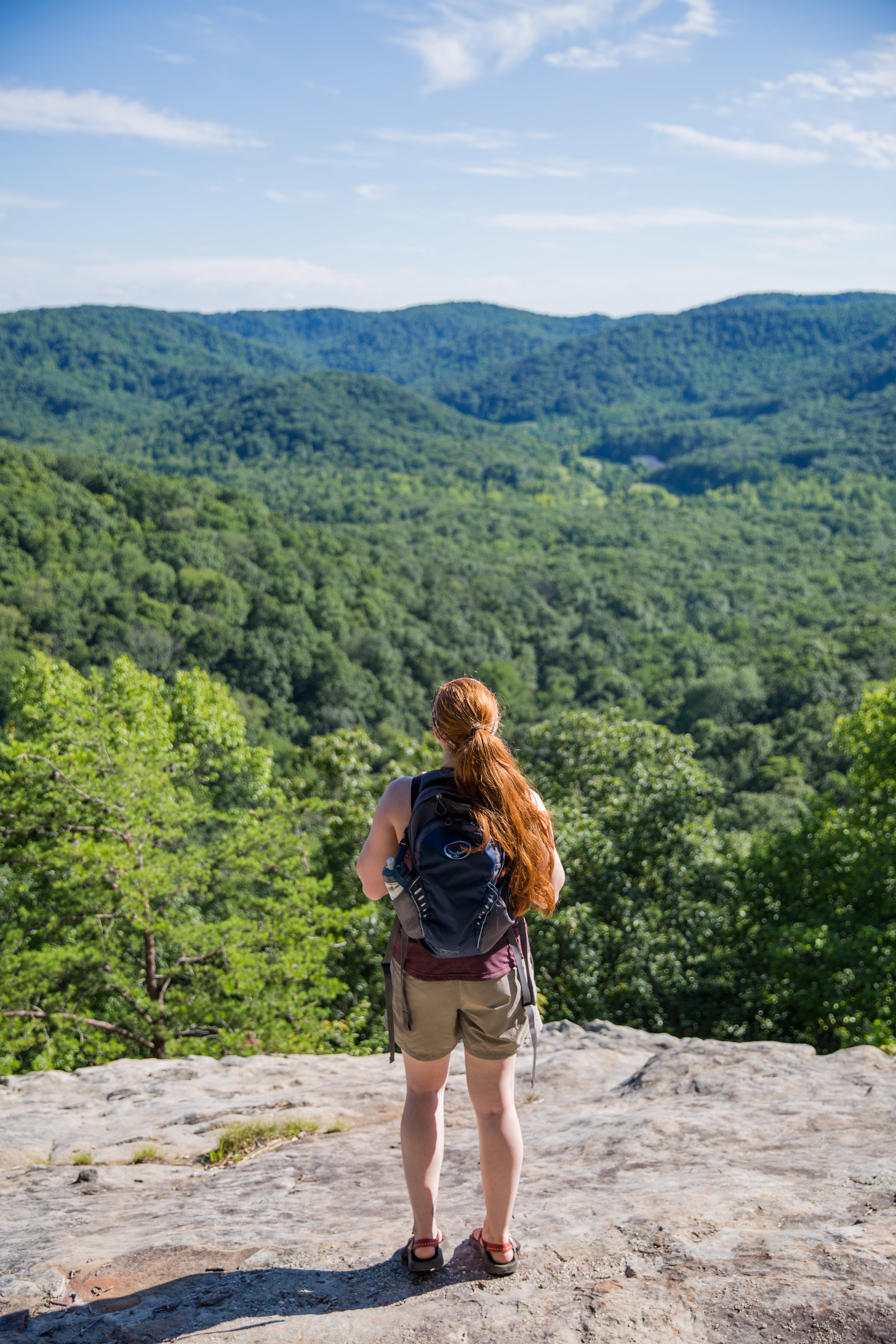
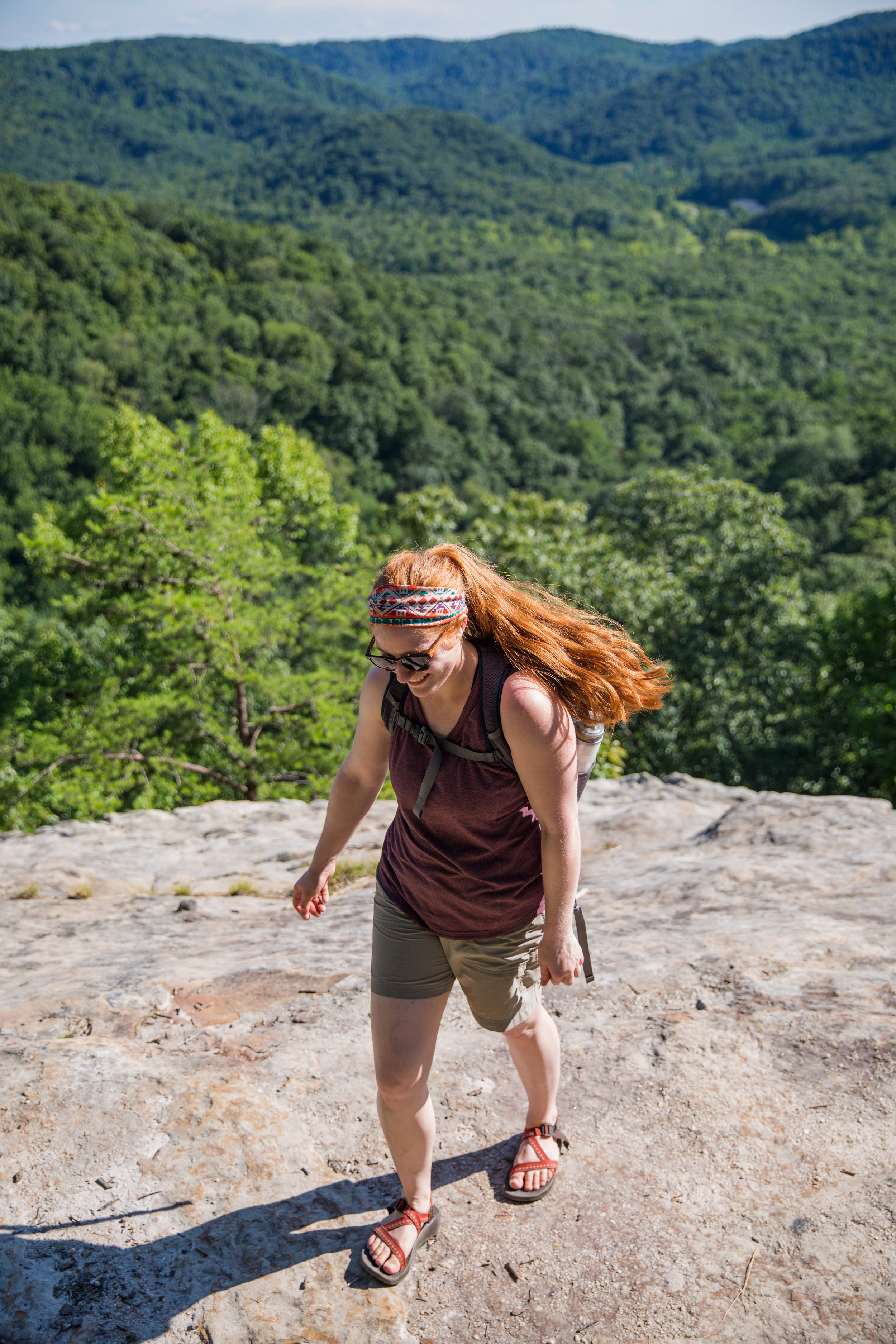
2. The Pinnacles - KY

     The Pinnacles are located two and half hours away in Berea, Ky. This trail system has a West Pinnacle and an East Pinnacle and multiple other overlooks along the way. The entire area holds 6-8 miles of trails depending on how you hike them. Bring a snack and soak in the views from all directions!

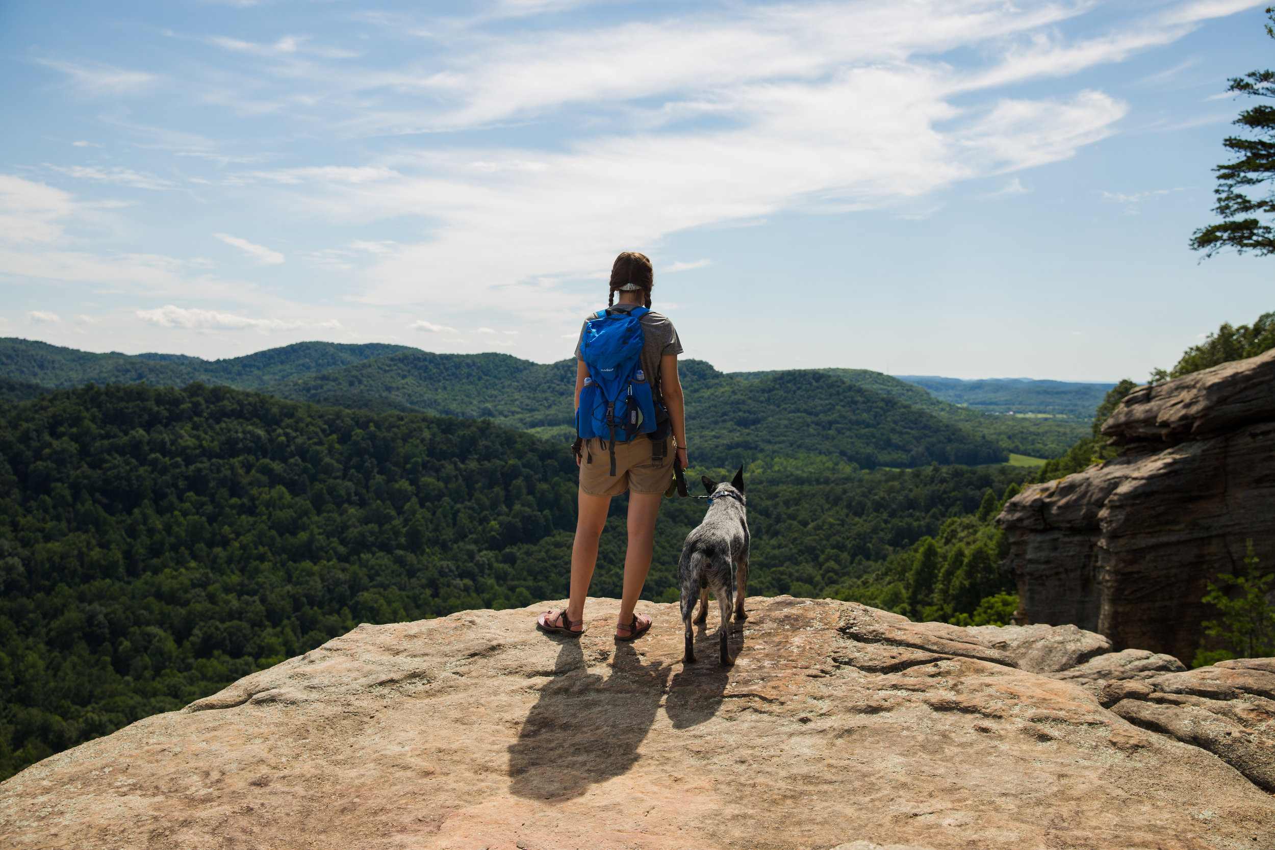
1. Dog Slaughter Falls - KY

     Dog Slaughter Falls (yes I know, the name is terrible)  is also located in the Cumberland Falls area. It maxes out the travel restrictions I've put on this blog post, but three hours in the car is worth it, I promise. This is a 2.2 mile trail that snakes alongside a beautiful stream all the way to the end. It's the most relaxing hike listening the the sound of water the entire way. In the summer it will be busy, but not as much as Eagle Falls since it isn't as close to the main state park attractions. 

     Get out there and take a day trip. It doesn't have to be far to be rewarding!  

"How intense is the hike?" "Not too bad, just uphill to the view"

     That was the answer I gave when Courtlyn asked me about the hike I had planned for the weekend. I also might have told her that the hike was only about 3 miles long. Both of these pieces of information may have been a bit understated.

     Oops.

    Something you all should know about me, is that I am a planner by nature. I like a schedule, a list, and an itinerary for almost any outing. The older I get the more stressed out I get when things don't go according to plan. So this explains the overkill in the below text message. 

    It went on even further, but I'll spare you the rest. This was honestly pretty tame, it's only a day hike anyway. You should have seen the five page google doc that I put together for a North Carolina trip earlier in the year (I might do a blog post on that trip because it was a doozy. In the good sense and the bad.). My travel partner, Makenzie, discovered I was an actual insane person when she saw my bullet pointed list of every item we would be packing, every location we would be going (complete with corresponding printed maps, and even geological coordinates for some locations), and links for extra time fillers in case something fell through. 

     None of this is too important for today's entry, but I think it gives you some necessary background about my personality for anyone who plans on sticking around for the long haul. Now back to the excursion at hand. 

     Originally, I planned to pick Courtlyn and George (the precious, good boy, Aussie Cattle Dog) promptly at 8am and hit the road for the two and a half hour drive to Berea, KY. However, I was an excruciatingly twenty minutes late due to: 1) all my belongings being stacked in a great pile in my parent's living room, and 2) checking my temperamental Subaru Forester's coolant levels, which ended up with me splashing coolant around and simultaneously covering my entire right arm in engine grease. 

     Regardless, we hit the road, and made it to our lunch destination with no hiccups. (Hallelujah). Berea, KY is a quaint little town known for its quirky local artistry and the college that bears its name. I've only been to Berea once before and on that occasion I wasn't able to do much but hike due to it being extremely early in the morning and no shops had opened their doors yet. 

     This time, everything was open and the streets were bustling as it appeared there was a wedding taking place later in the day. We snagged an outdoor table at a local coffee joint so that George could hang out with us while we ate our sandwiches and drank our beverages. I chose a latte that was supposed to be iced but ended up hot (still delicious, no complaints!) and Courtlyn got a mango smoothie which I was definitely a bit envious of. We finished up, scouted an ice cream shop for later, and made our way to the trail. 

     The Pinnacles are a trail system taken care of by the local college. It's conveniently located and well maintained. It leads up to an East Pinnacle and West pinnacle, each sporting gorgeous views of Kentucky's rolling hills and picturesque farm land. I quite like the fact that there are an East and West point because you could easily spend the entire day up there and see the sun rise and set and have some town exploring in between. 

     Starting out, you make a steady ascent up a wide trail until you arrive at an intersection leading to either East or West. At this point you are standing in most beautiful clearing filled with wildflowers and butterflies. It left us wondering when the elves would be popping out to say hello. 

     We decided decided to tackle the East Pinnacle first. Once we reached it, we took a much needed snack and water break. We especially made sure George kept drinking though we wasn't too keen on having water forced at him every few minutes (sorry we kept harassing you George, it was for your own good).      

     Snacks finished, water drank, bugs descending....
When an Assassin bug the size of my palm is intruding (i'm aware that in reality, we were the ones invading his area, but this my narrative!) your scenic view, it's definitely time to go.  

Upon further research, this ugly specimen is not an Assassin bug, but a nearby cousin called 'Leptoglossus Clypealis'. Unlike the Assassin bug, the Lepto doesn't tend to bite, instead he creates a bad smelling liquid when threatened. Basically a MASSIVE stink bug. Still scary when its as big as the palm of your hand....

     Just around the corner from our first stop was an even better view point with perfect trees for hammocking. We set up our portable seat and took some photos. While relaxing, a nice guy and his Bernese Mountain dog, Boyd, joined us and I took some complimentary photos for them (which reminds me, I need to email them to him. Oops).
     Boyd made it a bit difficult to take glamour shots since all he wanted to do was hide under a shady rock shelf. Poor guy must have been on fire underneath all that fur. I happen to have extrememly thick and heavy hair too, so I "slightly" feel his pain. 

     After about twenty minutes we took off back down the trail to the magic meadow and hiked towards the West pinnacle. This time the ascent was basically straight up for a mile and half. Courtlyn and George were absolute gems about it. No complaints, and they didn't even ask for a break! They made what could have been a really un-fun hike, a joyful and rewarding experience. 

     Once we conquered the ascent, it was pretty late in the day.  We didn't stay very long at the end, and honestly I don't think we even made it to the true West pinnacle. All three of us were pretty pooped and ready for dinner. It was a unanimous decision that the next time we came, we would find the end of the West Pinnacle trail and explore when we weren't so hungry.

     The two and a half or maybe three miles back to car was all downhill (sorry knees) and it went by rather quickly. We arrived at the car, sweaty, slightly sunburned and ready for a seat. I don' think there is anything more satisfying than making it back to your vehicle after a four hour summer hike and blasting AC as your reward.

     Well......maybe burgers, pizza, and ice cream are equally as satisfying.  It's a tough call, but we ended up doing both to safe.  

     So, maybe that hike ended up being five miles instead of three. And maybe the hike was a bit more intense than I let on, but still, It wasn't too bad. Just uphill to the view.